Loading details…
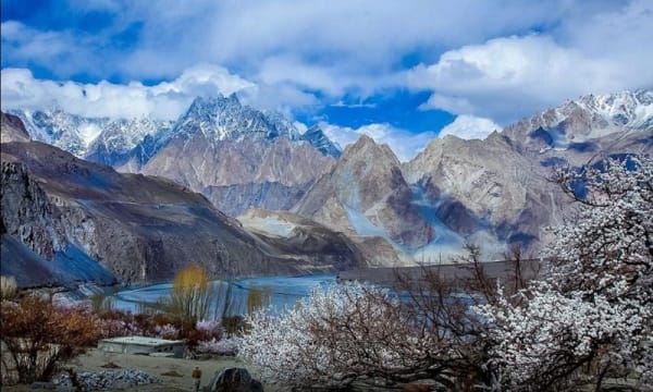
Skardu Valley forms the heart of Baltistan in Gilgit-Baltistan. It sits in a broad, high-altitude basin where the Indus River meets the Shigar River, ringed by the sharp ridges of the Karakoram. The town of Skardu itself functions as the main base for visitors, with markets, hotels, and services. The valley floor mixes sandy stretches, cultivated fields of wheat and barley, and apricot orchards. From here, roads branch out to lakes, deserts, and higher valleys. Its elevation (roughly 2,200–2,500 meters) gives clear views of surrounding peaks and makes it the practical starting point for most travel in the region.
Shigar Valley lies northeast of Skardu, about 30–40 minutes by road. It is greener and more fertile than the main Skardu basin, with terraced fields, fruit orchards (apricots, apples, walnuts), and traditional Balti villages.
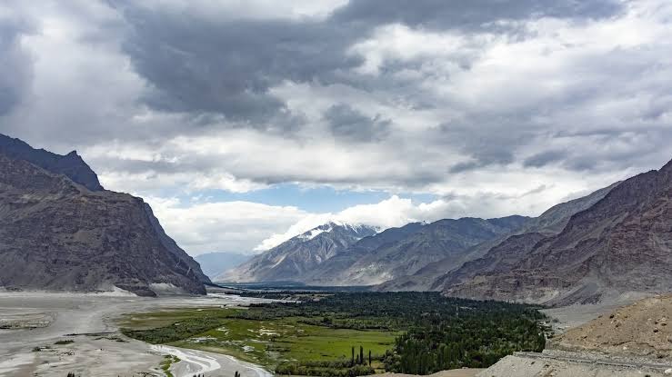
The restored Shigar Fort (also called Fong Khar, or Palace on the Rock) stands as its main historic landmark—a 17th-century structure now operating as a heritage hotel and museum. The valley serves as the approach route toward Askole and the Baltoro Glacier for serious mountain expeditions. Quiet side tracks lead to smaller streams and viewpoints that feel far removed from busier tourist spots.
Kharmang Valley stretches southeast of Skardu along the Indus, roughly 100–120 km and about three hours by road. Its name reflects the many historic forts built in the area for strategic reasons.
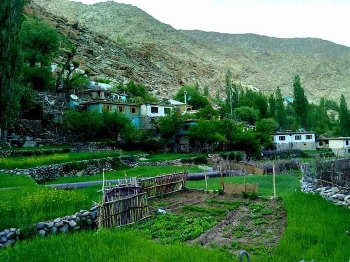
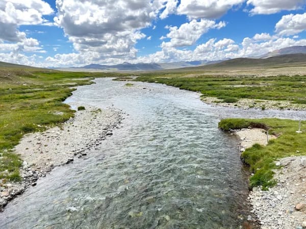
The landscape mixes riverside villages, green meadows, and steep cliffs. Tolti is the district headquarters. The valley is known for its waterfalls, trout streams, fruit (especially apples and apricots), and a quieter, more traditional Balti atmosphere with less commercial tourism than central Skardu. It offers a good extension for travelers who want scenery and local life without heavy crowds.
Ghanche (often spelled Ghangche or Gengche locally) is the easternmost district of Baltistan, centered on Khaplu and the Shyok River valley. It lies about 100–110 km east of Skardu (roughly 2.5–4 hours by road).
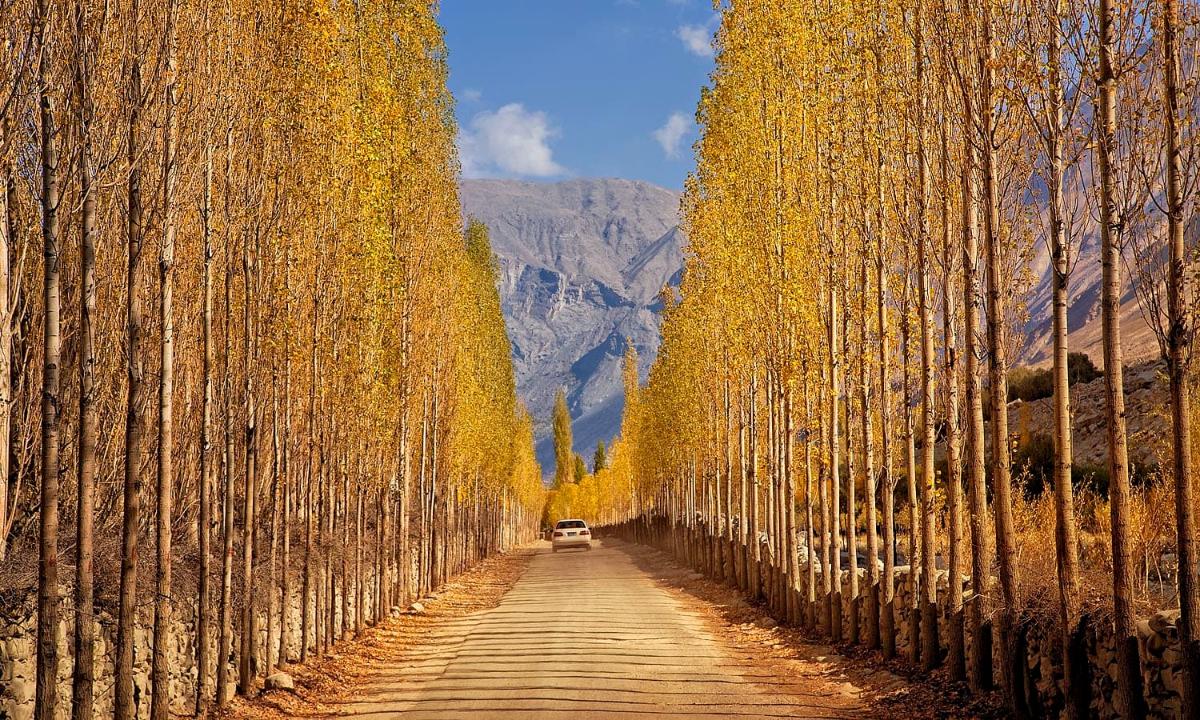
The name relates to glaciers in Balti. The district includes Hushe, Saltoro, and Chorbat sub-valleys and borders high peaks such as Masherbrum. Khaplu Palace and the historic Chaqchan Mosque are key cultural sites. Fruit orchards thrive here, and the area serves as a base for treks toward peaks like Masherbrum or approaches linked to the broader Karakoram. It feels more remote and less developed for mass tourism than Skardu itself.
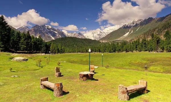
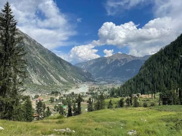
Basho Valley sits west of Skardu, reachable in about 1.5–2 hours. It is a narrower, forested side valley with pine and juniper stands, alpine meadows, clear streams, and small waterfalls.
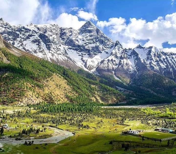
The setting is cooler and greener than the open Skardu basin. Visitors come for short hikes, picnics, and the contrast of dense woodland against snow-capped ridges. It remains relatively low-key and rewards those seeking quieter nature time.
Skardu International Airport (KDU) lies on the outskirts of the valley, roughly 10–15 km from the town center. Positioned at about 2,230 meters elevation, it has long runways capable of handling jet aircraft.
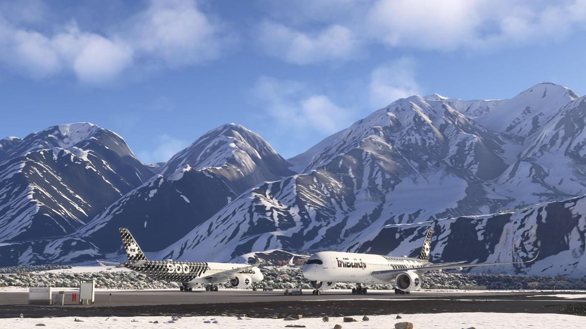
Flights connect mainly to Islamabad (about one hour), with additional services to Lahore, Karachi, and occasional international options such as Dubai. Weather in the mountains can delay or cancel flights, so flexible plans help. The airport is the fastest way into Baltistan and has seen upgrades to support growing tourism, including expanded terminal facilities. From the airport, taxis and private transfers reach hotels in Skardu in 20–30 minutes.
The high-altitude cold deserts around Skardu—especially Katpana and Sarfaranga—sit at elevations above 2,200 meters. Sarfaranga, in the direction of Shigar, features sweeping sand dunes set against snow-covered peaks, creating a striking visual contrast. Katpana lies closer to town. These are among the highest cold deserts on Earth.
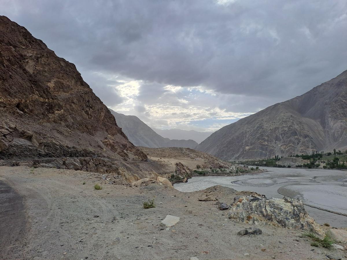
The best light comes at sunrise or sunset when the sand turns golden. Activities include short walks, photography, jeep drives across the dunes, and occasional camping. The deserts are accessible year-round in principle, though winter snow changes the character of the landscape.
Masroor Rock
Masroor Rock (also called Masrur, Marsur, or Mansur Rock) is a dramatic natural ledge high above Hussainabad village in Skardu Valley. Often compared to Norway’s Trolltunga, it juts out over the valley and offers sweeping views of Skardu town, the Indus River, Kharpocho Fort, the cold deserts, and surrounding Karakoram peaks.
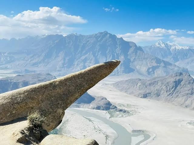
Located about 10–15 km from central Skardu (20–30 minutes by jeep), the rock sits at roughly 3,600–3,700 meters. The formation is about 38 feet long, with 25 feet extending outward. It is wider at the base and narrows toward the tip. It gained popularity around 2017–2018 through local photographs.
The hike starts from upper Hussainabad. It is roughly 5–6 km round trip with 600–800 meters of elevation gain and usually takes 2–4 hours. The trail begins in meadows near a stream, then becomes steeper and rockier with little shade. There are no facilities, so carry water, snacks, and sun protection.
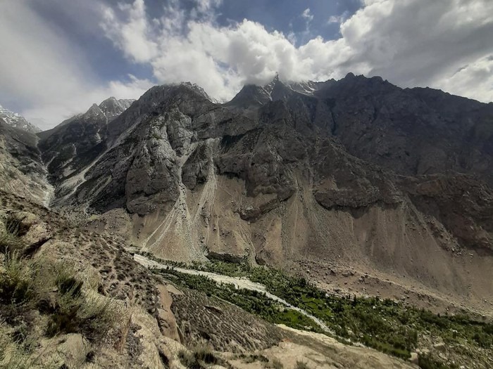
The best season is from May to October. The hike is moderate to strenuous. Good footwear and caution near the exposed edge are essential. A local jeep to the trailhead is recommended, and a guide can be helpful. Masroor Rock makes an excellent half-day or full-day trip from Skardu and pairs well with nearby cold-desert stops.
Satpara Lake (also spelled Sadpara) lies about 8–10 km from Skardu town. It is a natural glacial lake that has been adapted as a reservoir supplying water to the city.
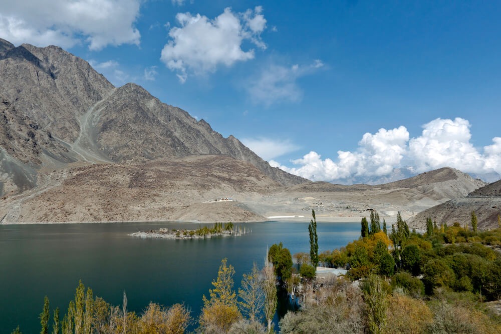
Surrounded by rocky mountains, the water often shows strong blue-green colors and clear reflections on calm days. Visitors can boat, fish (with permission), picnic, or simply walk the shores. It is one of the easiest lakes to reach and works well as a short half-day outing.
Shangrila refers to the popular resort and the lake it sits beside—Lower Kachura Lake—about 30–40 minutes from Skardu. The lake is small, vividly blue, and framed by willows and mountains.
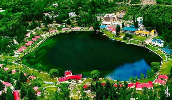
The resort area has gardens, restaurants, and lodging, making it one of the most developed and frequently visited spots. It is photogenic and convenient, though busier than more remote lakes. Many people combine it with a short visit to the upper lake nearby.
Upper Kachura Lake sits a short distance above the lower lake and Shangrila resort. It is quieter, deeper, and more natural in feel, with clearer water and stronger mountain reflections.
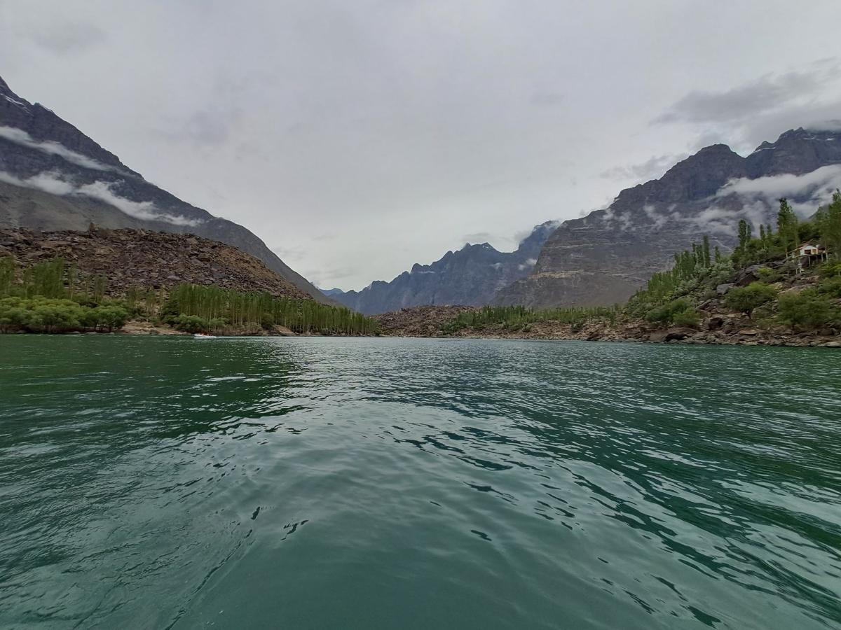
Access involves a short walk or boat from the lower lake area. It is better for those who prefer fewer people, simple lakeside time, photography, or light kayaking. The surrounding rocky terrain and orchards add to the setting.
Blind Lake, known locally as Jarba Zhou or Zharba Lake, lies on the way to Shigar Valley, roughly 30–45 minutes from Skardu. It is a calm freshwater lake with no obvious surface inlet or outlet (hence “blind”), fed by underground or seepage sources linked to the surrounding rivers.
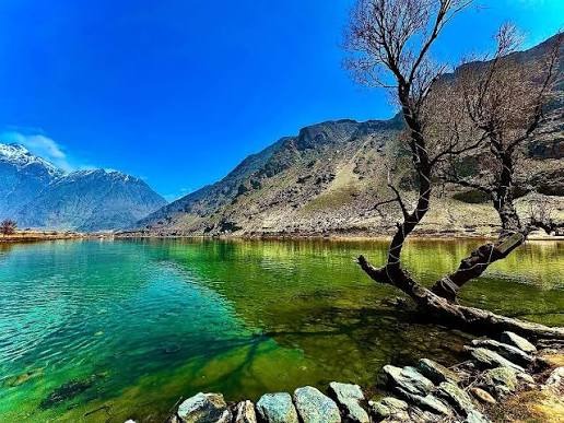
Positioned between the Indus and Shigar rivers and near the edge of the Sarfaranga cold desert, it offers quiet shores, mountain views, and a sense of isolation. Short walks, photography, camping, and limited fishing are possible. It remains less crowded than the main Kachura or Satpara lakes.
Manthoka (or Manthokha) Waterfall is the best-known cascade in the area, located in Kharmang Valley roughly 70–80 km from Skardu (about 2–3 hours by road). The water drops approximately 180 feet (55 meters) over rocky cliffs into a basin, surrounded by green pastures and mountains.
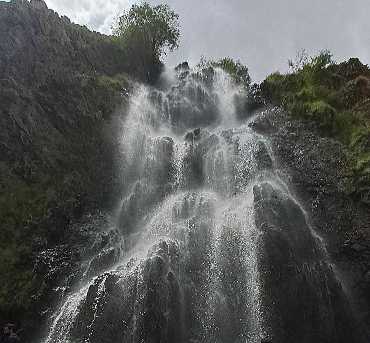
A short, easy walk from the parking area leads to viewing points and wooden bridges. Facilities include basic restaurants serving trout, picnic spots, and a small fish farm. Peak flow occurs in summer with glacial melt. It is popular with domestic visitors and works well as a day trip.
Khamosh Waterfall (also called Khumash or Shirithing in some local references) is a more secluded cascade associated with the Kharmang area or nearby Satpara approaches, typically 60–80+ km from Skardu depending on the exact route. It features a high, often overhanging drop where water falls freely and creates mist and spray.
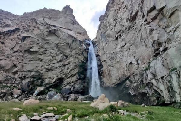
The setting is quieter and more rugged than Manthoka, with fewer facilities. Access usually requires a jeep for the final stretch and sometimes a short hike. It is best visited in the warmer months when the flow is strong; in winter parts can freeze into striking ice formations. The name “Khamosh” (silent) contrasts with the actual noise of the falling water.