Loading details…
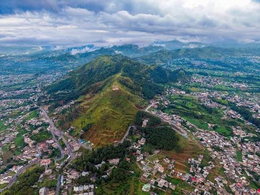
Mansehra Valley
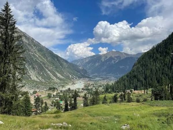
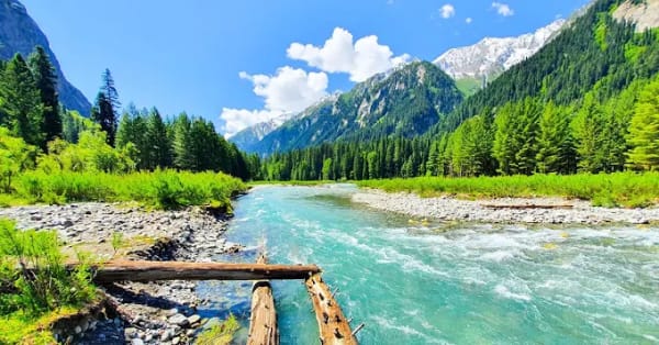
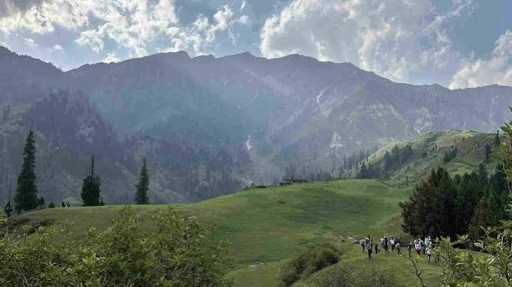
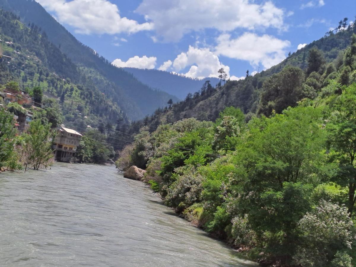
Mansehra District in Khyber Pakhtunkhwa is best known for the long, scenic Kaghan Valley, which runs along the Kunhar River from Balakot northward toward Babusar Pass. The area offers a mix of hill stations, alpine meadows, forests, lakes, waterfalls, and high mountain scenery. Below is a detailed look at the tourist places you listed, arranged roughly from south to north along the main route and side tracks.
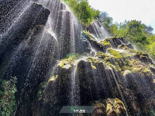
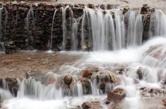
Kiwai Waterfall is a scenic cascade near the village, reachable by a short walk or light hike along streams. It is a popular quick stop for travellers heading to Shogran, offering greenery, cool spray, and photo opportunities before the climb begins.
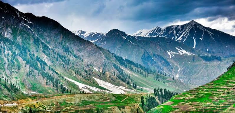
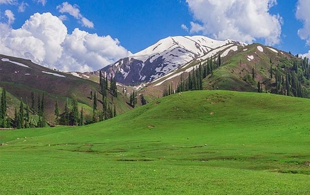
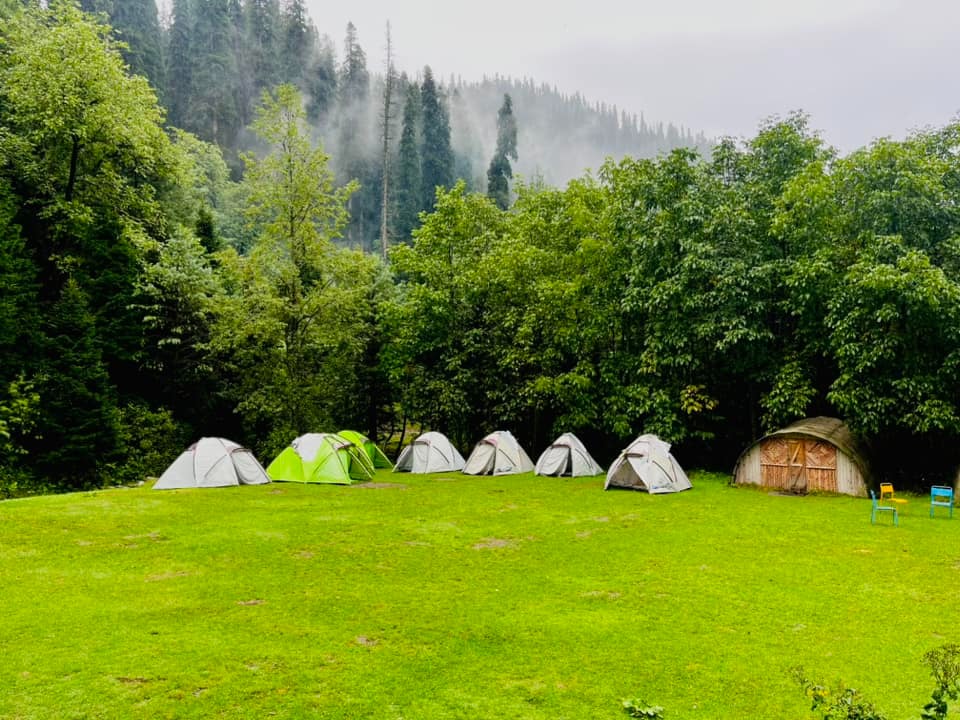
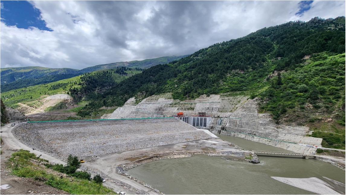
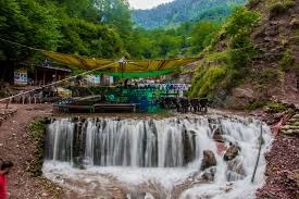
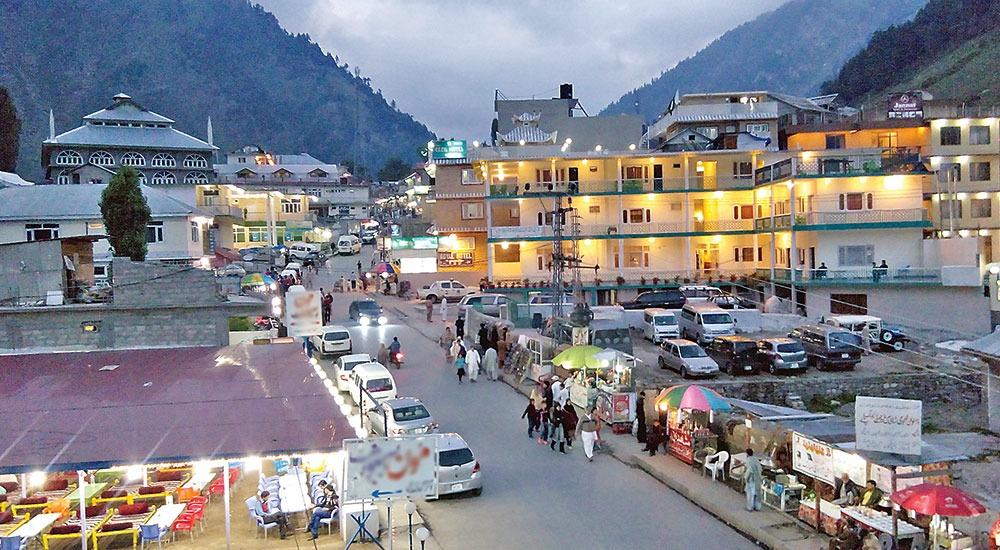
Naran is the main tourist hub of the upper Kaghan Valley, located at about 2,400–2,500 meters on the banks of the Kunhar River. It has the largest concentration of hotels, restaurants, shops, and services. Most visitors use Naran as a base for day trips to Saiful Muluk Lake, Lalazar, Batakundi, Lulusar, and Babusar Top. The town becomes very busy in peak summer (June–August).
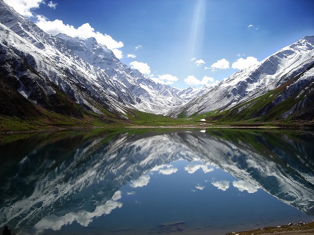
The most famous lake in the region, located about 8–10 km from Naran by a rough jeep track at approximately 3,224 meters. It is known for its clear turquoise water, dramatic mountain backdrop (including Malika Parbat), and local folklore about a prince and a fairy. Boating is available in season. Early morning or late afternoon visits are best to avoid the heaviest crowds.
A high-altitude tear-shaped glacial lake at around 4,050 meters. It requires a challenging multi-hour trek (often from near Saiful Muluk or related high routes) and is suitable for experienced hikers. The lake is known for its distinctive shape and remote setting. Access is seasonal and weather-dependent.
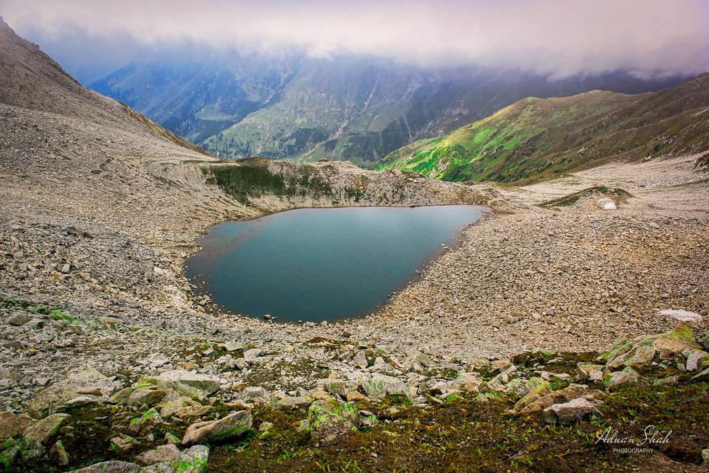
Batakundi is a village about 15–16 km beyond Naran at around 2,600–2,700 meters. It is the last major settlement that often remains accessible later into the season. The area has hotels, a waterfall (Sohni / Batakundi Waterfall), and serves as a practical stop for travellers continuing to Lalazar, Lulusar, or Babusar Top. It has a calmer atmosphere than Naran and is growing as a base for upper-valley exploration.
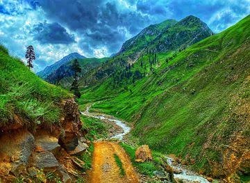
A high meadow area reached by a short jeep track from near Batakundi, at roughly 3,100–3,200 meters. It is popular for its open green slopes, wildflowers in summer, and wide mountain views. Many travellers stop for picnics and photography. It offers a quieter alternative to the busier Naran area.
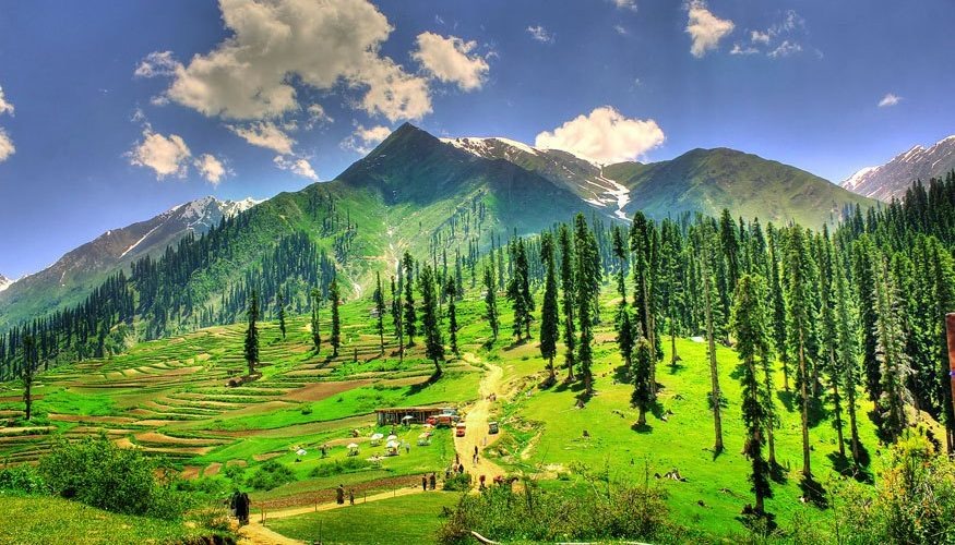
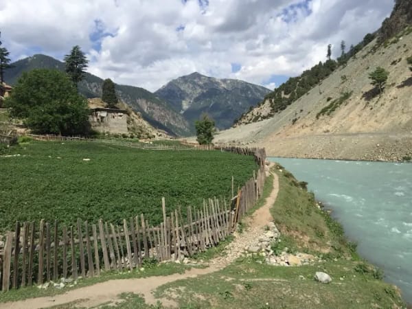
Burawai (also spelled Burwai) is a small settlement further along the road after Batakundi, on the way toward Lulusar and Babusar. It sits near the confluence of streams with the Kunhar River and has basic roadside facilities. The surrounding area includes scenic river views and access to nearby glaciers or high pastures. It serves as a rest or overnight stop for those heading higher.
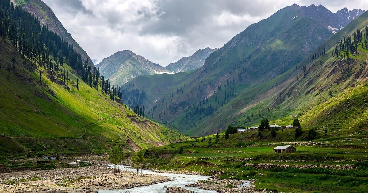
Besal (also written Besar or Baser) is a high settlement / nomadic area further along the route toward Lulusar and Babusar Top. It is known for open meadows, river confluences, and simple roadside tea stalls or restaurants.
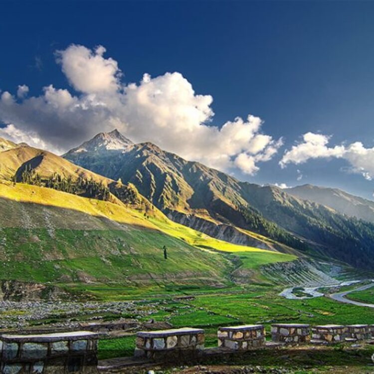
Many travellers stop here for views and rest before the final climb. Moon Restaurant also has a presence in this area.
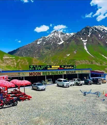
A popular dining spot with branches in Naran (main bazaar area) and Besar/Besal. It is known for Pakistani dishes such as karahi, kebabs, biryani, and other local favourites, with both indoor and outdoor seating. It is a frequent stop for tourists looking for a substantial meal in the upper valley, particularly those travelling toward or returning from Lulusar and Babusar.
Chitta Katha Lake (“White Stream Lake”) is a high-altitude alpine lake at about 13,500 feet (around 4,100 meters) located in Shounter Valley, Azad Kashmir. It is not inside Mansehra District itself but can be approached via longer connected routes involving the Naran / Jalkhad side or from Kel in Neelum Valley.
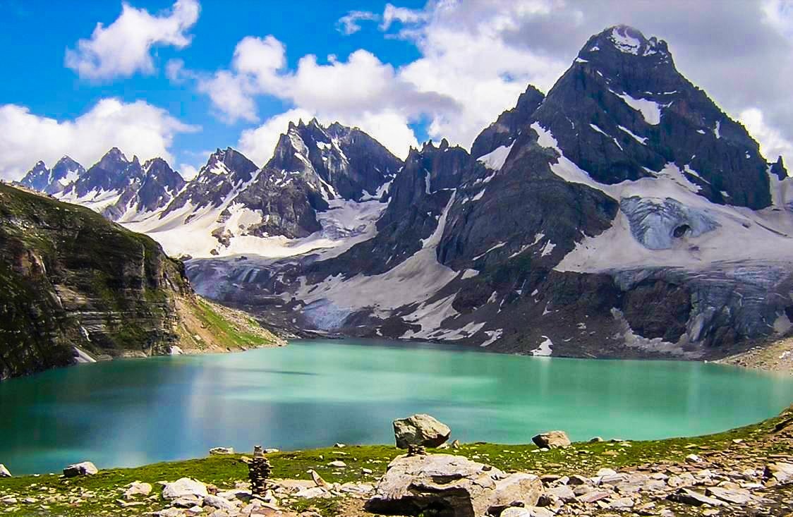
The lake requires a combination of jeep travel and a moderate-to-hard trek. It is prized for its remote setting, clear water, and surrounding peaks, and is best suited for experienced trekkers.
A large, scenic alpine lake at approximately 3,410 meters (11,190 feet), located along the road toward Babusar Top. It is the primary headwaters of the Kunhar River and is surrounded by hills and peaks. The lake is a popular jeep-accessible stop for photography and short walks during the summer season when the road is open.
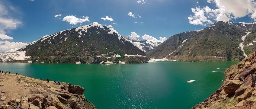
The high mountain pass at the northern end of Kaghan Valley, at about 4,170 meters (13,690 feet). It connects the Kaghan side of Mansehra with Chilas in Gilgit-Baltistan.
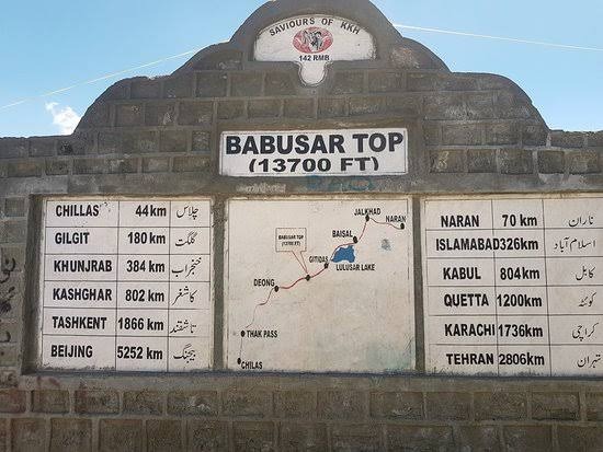
The road is typically open only from June/July to September/October, depending on snow conditions. The top and the drive offer dramatic high-altitude views and are a major goal for many travellers continuing north or making a round-trip from Naran.
Practical Notes
The main route runs Mansehra → Balakot → Kiwai → (side trips to Shogran/Sharan) → Naran → Batakundi → Burawai/Besal → Lulusar → Babusar Top. Regular cars can reach Naran in good conditions; higher tracks and Babusar require 4×4 vehicles. The best overall season is May/June to September. Facilities are strongest in Naran and Shogran and become simpler higher up. Always check current road and weather conditions, especially for high passes and remote lakes.
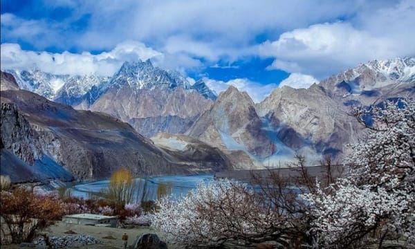
These places together showcase the full range of Mansehra’s mountain tourism — from accessible hill stations and forests to high alpine lakes and the dramatic Babusar crossing.