Loading details…
Kumrat Valley
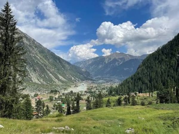
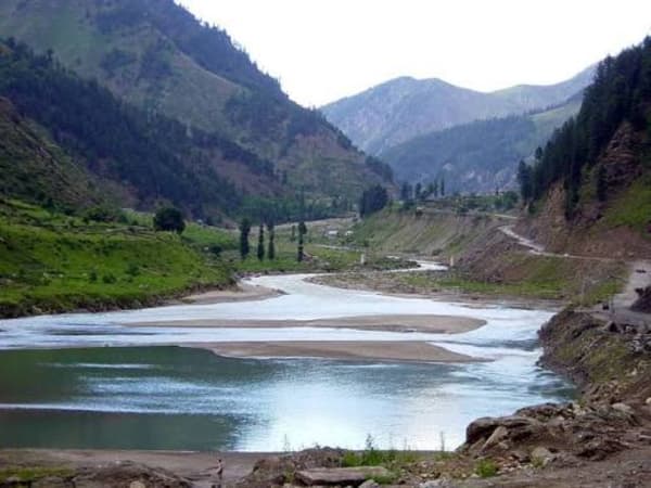
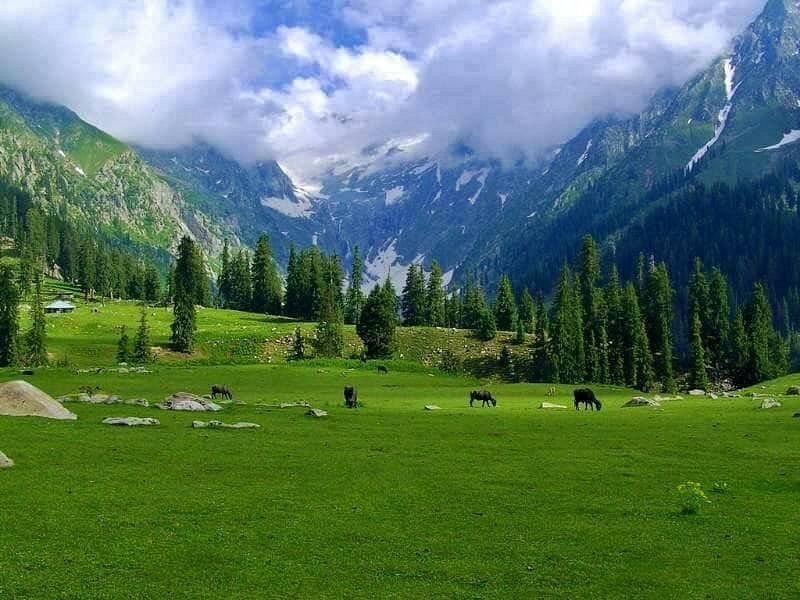
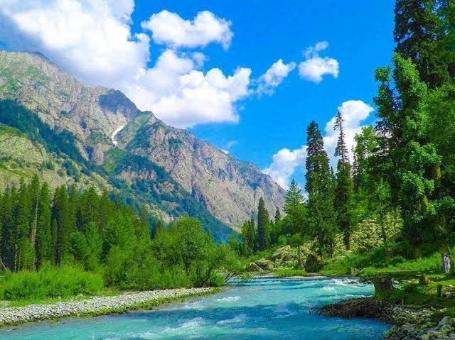
Kumrat Valley is one of the most beautiful and relatively less crowded alpine valleys in Khyber Pakhtunkhwa, Pakistan. It lies in the Upper Dir District (Dir Kohistan) and is known for its towering deodar forests, the clear Panjkora River, high meadows, waterfalls, and glacial lakes. The valley sits at elevations roughly between 2,000 and 3,500+ meters and is surrounded by the Hindu Kush / Hindu Raj ranges.
The main gateway is the town of Thal (also called Thall). From Islamabad the journey is about 350–400 km (9–12 hours). After Dir, the road becomes rougher; a 4×4 jeep is essential beyond Thal for the main valley track and higher points. The best season is May to September, when roads and high trails are open and the landscape is green.
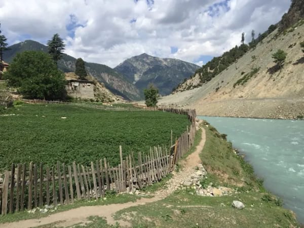
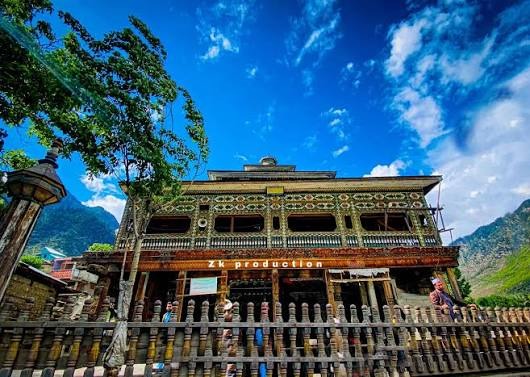
Thal is the practical base and last proper town before entering the heart of Kumrat. It sits on the banks of the Panjkora River and has a small bazaar where you can buy basic supplies, food, and fuel. The town is known for its traditional wooden mosque (Jamia Masjid Thal, built without nails in the mid-19th century) and wooden water channels (picket canals) that locals still use for irrigation. Many travellers stay overnight here or arrange jeeps, guides, and porters. It is a good place to experience local Pashtun hospitality before heading deeper into the forest.
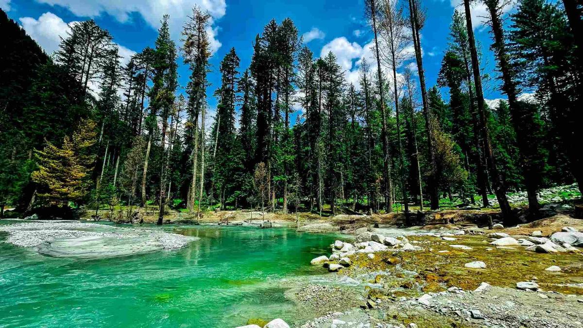
The dense deodar (cedar) and pine forests are the signature features of Kumrat. Tall, straight trees form a thick canopy along the valley floor and lower slopes. The forest runs alongside the Panjkora River and creates a cool, shaded atmosphere even in summer. Camping among the trees beside the river is one of the most popular activities. The forest also supports local wildlife and provides the scenic backdrop for most jeep tracks and short walks.
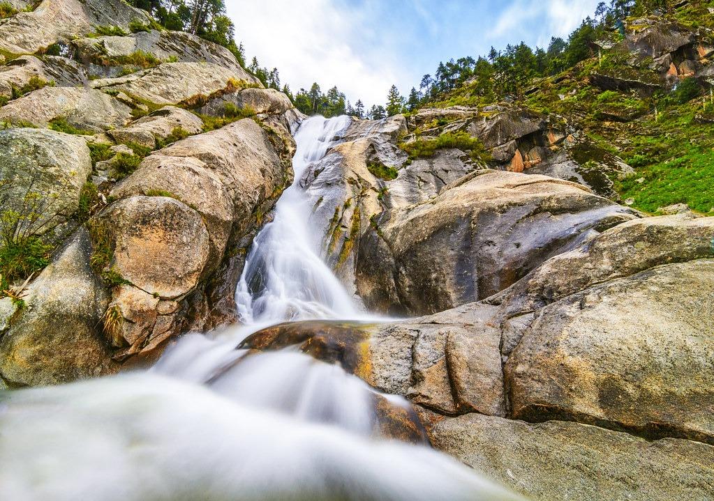
Several waterfalls appear along the main track and side paths. The best-known is the Kumrat Waterfall, roughly 12–13 km from Thal and reachable by 4×4 jeep plus a short walk. Water cascades down a rocky face into pools surrounded by forest and cliffs. Other falls can be found near Jahaz Banda and in side nullahs; flow is strongest in early to mid-summer from snowmelt.
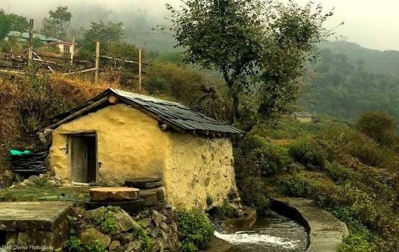
Locals still use traditional water-powered flour mills (chakki) and wooden irrigation channels (picket canals). These wooden canals, sometimes several feet wide, carry water from streams and springs along the valley slopes. They are an interesting example of old mountain engineering and can be seen near Thal and along the lower valley. The “water plant” reference usually points to natural springs rather than a modern facility.
Kala Chashma is a cold mineral spring whose water appears dark against the surrounding rocks. It is a popular short stop for drinking water and picnics. Nearby Do Kala Chashma and other springs offer similar refreshing points along the track.
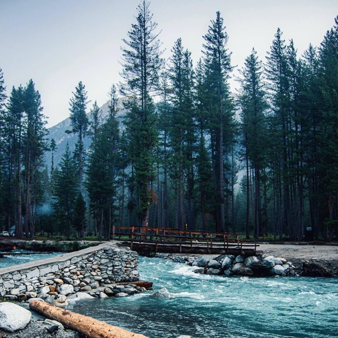
Dojanga is the point where the Panjkora River meets a tributary (often described as the entrance deeper into the valley). It is a scenic riverside area with open space for camping and views of surrounding peaks. Beyond Kala Chashma the track becomes more rugged; Dojanga marks a transition into thicker forest and is a common overnight or lunch stop for those heading toward higher meadows.
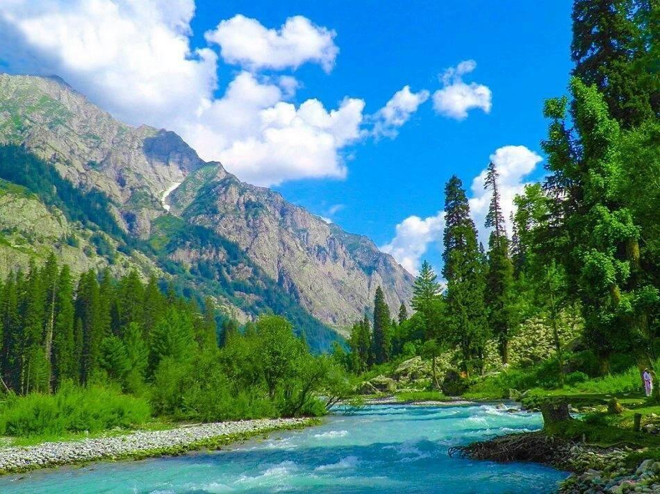
Jahaz Banda (“Ship Deck” or “Airplane Field”) is the most famous high meadow in Kumrat, sitting at around 3,100 meters. It is a vast, almost flat alpine pasture surrounded by snow-dusted peaks and forest on one side. The name comes from its unusual flatness at high altitude. Most visitors reach it by jeep to a drop-off point (often near Jandrai or Takki Top) followed by a 2–4 hour trek (or horseback). It is an excellent base for camping under open skies and the usual starting point for the further trek to Katora Lake. Wildflowers cover the meadow in peak summer.
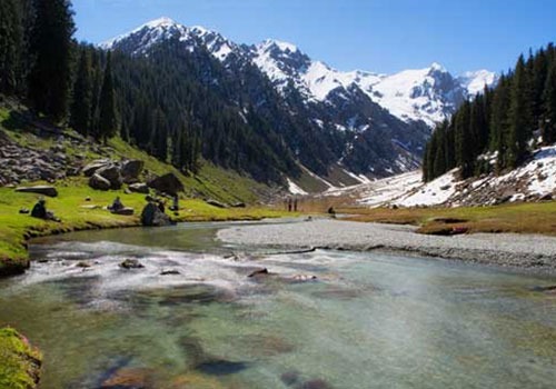
Katora Lake (“Bowl Lake”) is a high-altitude glacial lake at approximately 3,500 meters (some sources note up to 4,000 meters in the upper basin). It sits in a natural rocky bowl above Jahaz Banda. The water is a striking turquoise-green and is fed by surrounding glaciers. From Jahaz Banda the trek takes 3–4 hours one way on a steeper, sometimes rocky path. It is the highlight of most multi-day trips and best visited between July and September when snow has cleared. Camping near the lake is possible for experienced groups.
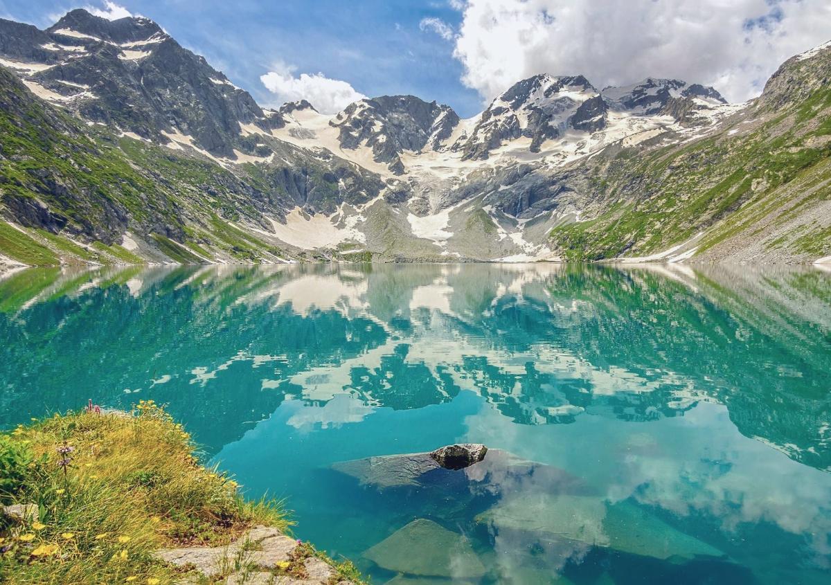
Badgoi Pass (also spelled Badagai or Badagoi) is the high mountain pass that connects the upper end of Kumrat Valley with the Utror / Kalam side of Swat Valley. It is open only for a short summer window (roughly July–early September) and requires a capable 4×4 and experienced driver.
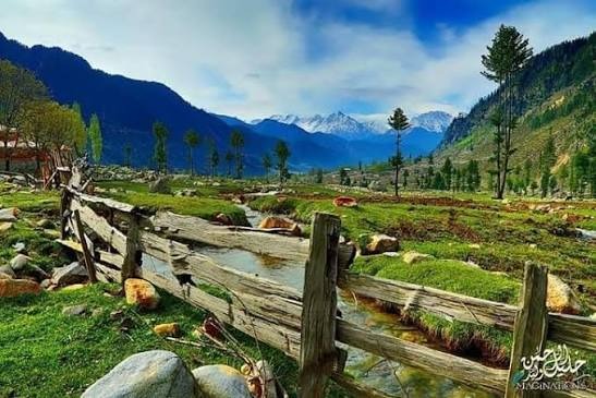
Dasht-e-Laila is a high open plateau / top along or near the Badgoi route. It offers expansive views and is one of the more remote scenic points on the crossing. Reaching these areas involves rough tracks and is recommended only for well-prepared groups.
Utror Valley lies on the Swat (Kalam) side of the mountains and is reached either via the long road through Dir or, in summer, across Badgoi Pass from Kumrat. It is a separate but neighbouring high valley known for:
Kundol (Kandol) Lake – A beautiful alpine lake at about 3,000+ meters north of Utror, reached by jeep to Ladu village then a 2–4 hour trek through forest and streams. Clear green water surrounded by peaks; popular for camping.
Dense forests, meadows, and smaller lakes or tarns (including areas near Spin Khwar and Khapiro/Pari Lake).
Traditional villages and riverside scenery along the upper Swat River system.
Access to Gabral Valley and further trekking routes.
The Badgoi crossing links the two valleys and allows adventurous travellers to experience both Kumrat’s deodar forests and river and Utror’s high lakes in one extended trip.
Access: 4×4 jeep essential beyond Thal. Hire locally in Thal.
Stay: Simple hotels and tent camps in Thal and along the river; camping is common at Jahaz Banda and near the lakes.
Facilities: Limited — carry cash, water purification, warm layers, and rain gear. Mobile signal is weak or absent higher up.
Duration: 3–5 days is ideal to see the main valley, Jahaz Banda, and Katora Lake; longer if including the Badgoi crossing or Utror side.
Kumrat Valley rewards those who accept rough roads and basic facilities with some of the finest forest, meadow, and lake scenery in northern Pakistan. Its combination of river, towering deodars, high pastures, and glacial lakes makes it a standout destination for nature-focused travellers.