Loading details…
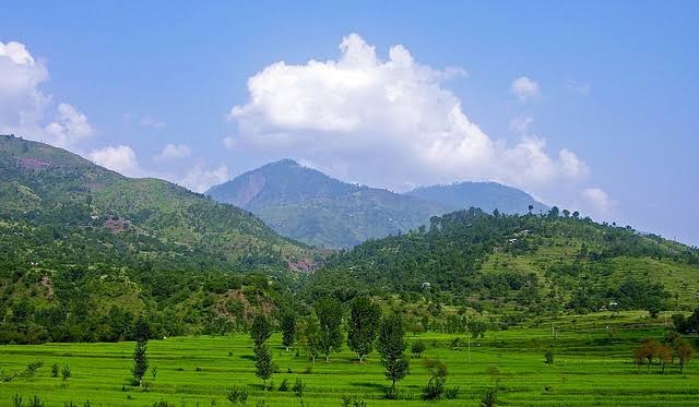
Jehlum Valley
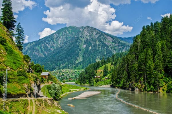
Jhelum Valley (also spelled Jehlum Valley) is a scenic river valley in the Hattian Bala District of Azad Jammu and Kashmir (AJK), Pakistan. It stretches about 50–60 km along the Jhelum River, from near Muzaffarabad southeast toward Chakothi on the Line of Control. The river flows through green mountains before joining the Neelum River at Domel near Muzaffarabad.
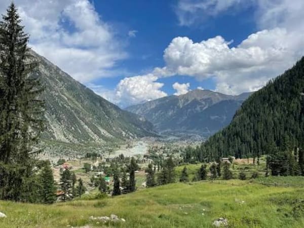
Hattian Bala is the main town and district headquarters. Compared with the more famous Neelum Valley, Jhelum Valley receives fewer tourists, which keeps it quieter and less crowded. The landscape features pine-covered slopes, terraced fields, walnut and cherry orchards in summer, waterfalls, and traditional Kashmiri villages. Summers are pleasant and green; winters bring snow, especially at higher elevations.
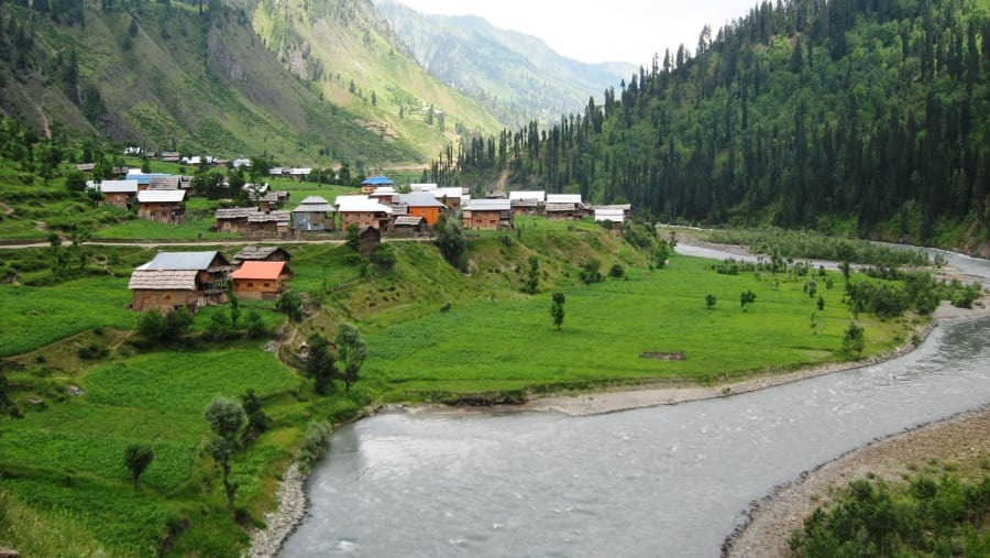
The main metalled road runs from Muzaffarabad to Chakothi along the river and is generally good for regular cars up to most points. Side roads to higher areas such as Chikar or Leepa often require a 4×4, especially after rain or in shoulder seasons.
Garhi Dupatta (Ghari Dopatta)
About 24 km from Muzaffarabad, this riverside town sits on both banks of the Jhelum. It has basic facilities (markets, medical services, accommodation) and serves as an early stop with mountain views and a calm setting.
Chinari
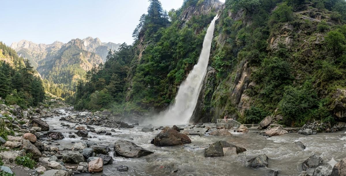
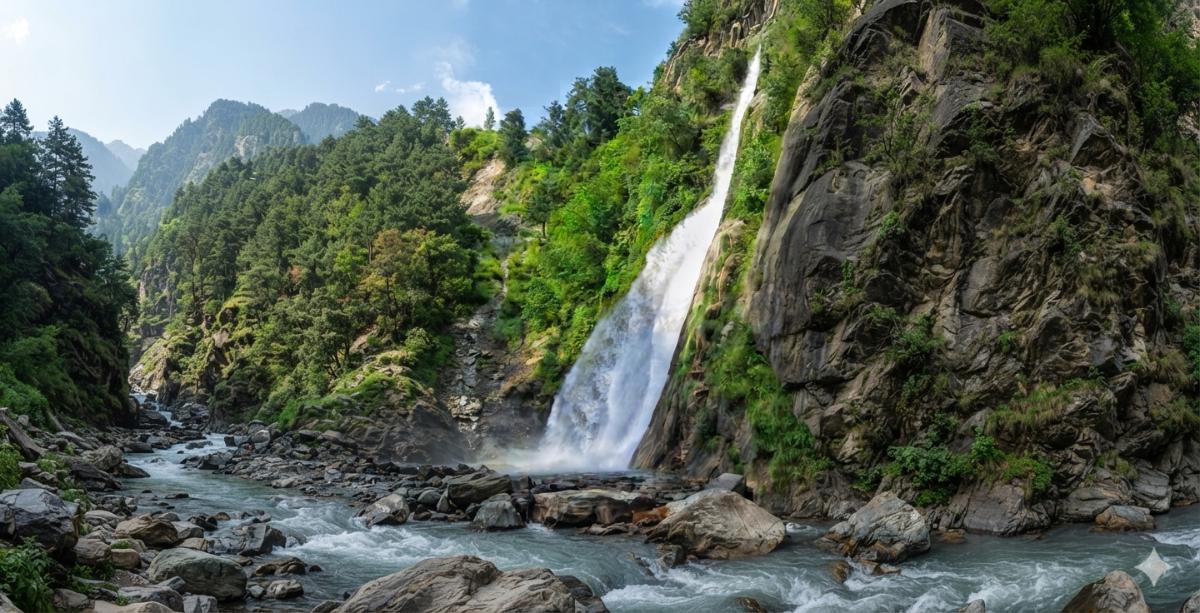
Around 50–51 km from Muzaffarabad on the left bank of the Jhelum. Surrounded by high hills, it offers a small bazaar, hospital, banks, and other basic services. It is a convenient mid-valley stop with pleasant riverside scenery and with a beautiful waterfall.
Chakothi
About 8 km beyond Chinari and close to the Line of Control. This border village is mainly accessible to domestic tourists. It provides views across the river toward villages on the other side and a sense of the frontier location.
Chikar (Chikkar)
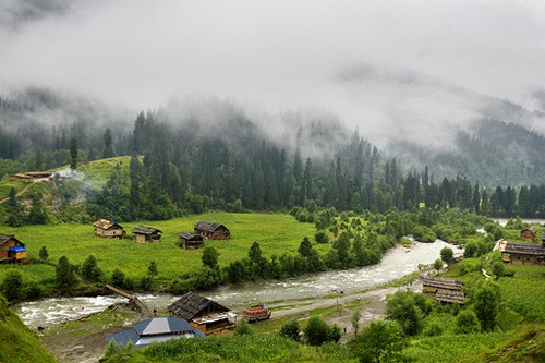
A popular summer hill station about 46 km from Muzaffarabad, sitting at roughly 1,828 meters on the southern side of the valley. A side road branches off near Dhanni Baqalan. Chikar is known for its cooler climate, pine forests, and open views of surrounding sub-valleys. Basic bazaar facilities and rest houses are available. It is a good base for short walks and a quieter alternative to busier hill stations.
Loonbagla (Loon Bagla)
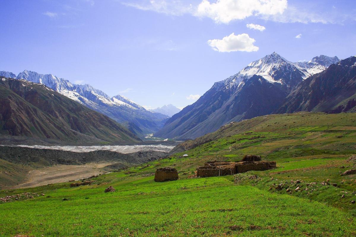
About 10 km beyond Chikar at around 2,011 meters. Nestled in dense blue-pine forests, it offers a peaceful forest setting and a tourist hut for simple stays.
Dungian
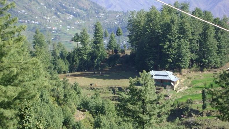
Roughly 5 km past Loonbagla at about 2,071 meters. Thick silver-fir forests and higher elevation make it attractive for nature lovers. An experimental station for medicinal herbs is also located here.
Zilzaal Lake (Earthquake Lake)
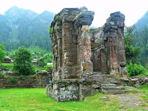
One of the more distinctive attractions. Formed after the 2005 earthquake when landslides blocked streams, this natural lake stretches several kilometers and is fed by multiple springs. It can be reached via Chikar (about 50 km from Muzaffarabad to Chikar, then a short distance and a brief walk from Karli village). The lake and its surrounding green landscape are especially pleasant in summer.
Waterfalls
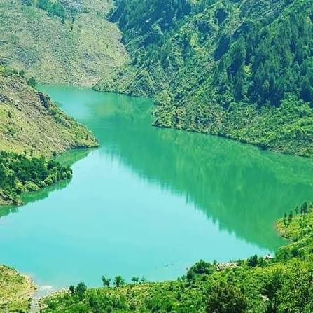
Several cascades appear along the main route and side tracks. Notable ones include smaller falls near Chinari and the higher Chham Waterfall (around 350 feet), which draws water from the Qazi Naag area near the border.
Leepa is the most celebrated part of the district and often considered the jewel of Jhelum Valley. It lies roughly 45–100+ km from Muzaffarabad (depending on the exact starting point and route). The road climbs over Reshian Gali (about 3,200 meters / 10,500 feet) before descending into the valley floor at around 1,600–1,900 meters.
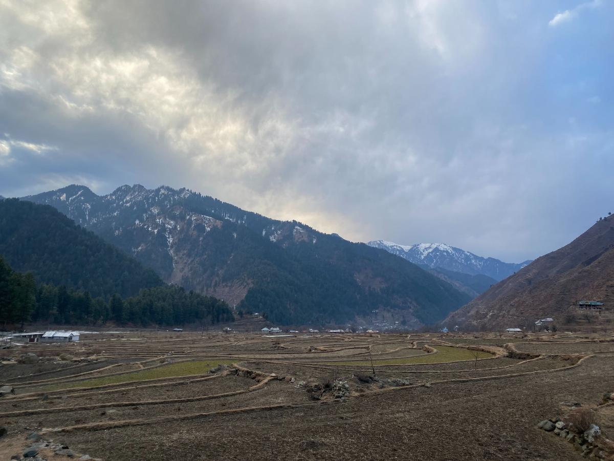
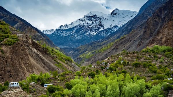
Leepa remains relatively unspoiled, with terraced rice fields that look like green staircases on the hillsides, traditional multi-story wooden Kashmiri houses, apple, walnut, and cherry orchards, and thick pine forests. The best season is generally May to November; heavy snow can close the higher passes in winter.
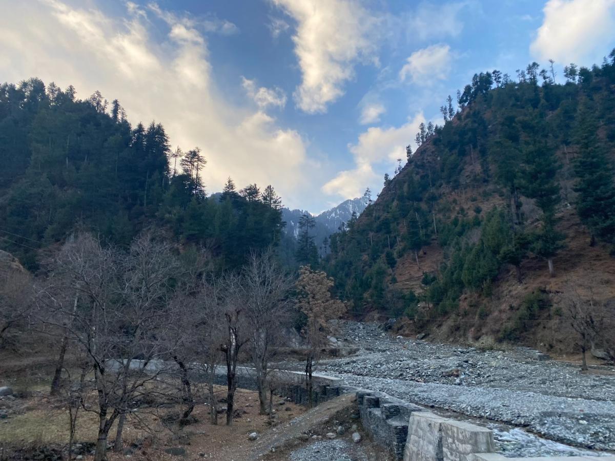
Key spots inside and around Leepa include:
Reshian – The gateway village at about 1,674 meters. Scenic and the usual starting point for jeeps into the deeper valley.
Dao Khan (Daokhan) – High meadows at around 2,490 meters with panoramic views, a calm atmosphere, and basic rest-house options.
Leepa village – The main settlement with classic wooden architecture, rice paddies, and local produce (especially walnuts, apples, cherries, and honey).
Chananian – A quieter village near the Line of Control with forest surroundings and traditional character.
Other hamlets such as Nokot, Kasirkot, and smaller settlements that show everyday Kashmiri village life.
From Reshian onward, a 4×4 jeep is usually required. Some higher side trips near the LoC may need permission.
Best time: May to September/October for green landscapes, open roads, and comfortable temperatures. Higher areas can still have residual snow in early summer.
Access: Most of the main Jhelum Valley road is suitable for regular cars. Leepa and some hill stations need 4×4 vehicles, especially in wet or early/late season.
Facilities: Basic hotels, rest houses, and guesthouses exist in Hattian Bala, Garhi Dupatta, Chinari, Chikar, and Reshian. Options become simpler deeper into Leepa.
Mobile network: Coverage can be limited in higher or remote sections; plan accordingly.
Who visits: Domestic tourists form the majority. Foreign visitors should check current regulations, especially near border areas.
Jhelum Valley offers a quieter, more local experience than Neelum Valley, with strong natural beauty, traditional villages, and the standout attraction of Leepa’s terraced fields and forests. It works well as a day trip from Muzaffarabad or as a 2–3 day exploration if you include Leepa and the higher hill stations.